Ordnance Survey Map Symbols are categorised into several groups, such as transportation (roads, railways), natural features (rivers, forests), buildings (schools, churches), and land use (farms, parks). Each category uses distinct symbols and colours to enhance readability. Ordnance Survey Street Maps use symbols like an envelope to represent a post office or a fuel pump symbol to represent a petrol station. O.S. maps are particularly useful for anyone wishing to navigate on foot, such as long-distance walkers.
Ordnance Survey is Britain’s mapping agency with its roots in military strategy. The government ordered the defence ministry of the time (the Board of Ordnance) to begin a survey of England starting in 1747. Until then, maps had lacked the detail required for moving troops and planning campaigns.
The first maps were available to the public in the late Georgian era. These stunning ‘works of art’ weren’t cheap, but the owner was privy to a spectacular aerial view of the landscape until then only seen from a hot air balloon.
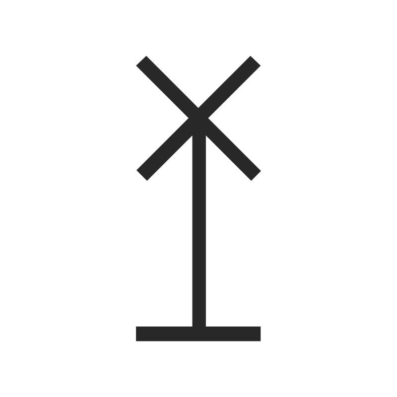
How easy are these symbols to understand if you’re unfamiliar with them or if you’ve seen them before, do you remember what represent? Below there are 20 examples of symbols used by O.S. on their maps. What do the symbols mean?
Hover your mouse pointer over the grey box below an image to reveal the answer.
To download an individual image, right-click on the enlarged image you want and select “Save image as”. This will open a save dialog where you can save the file to your computer. You can use any of the images for your quizzes, but not re-publish them, in any format. The picture’s filename is its answer.